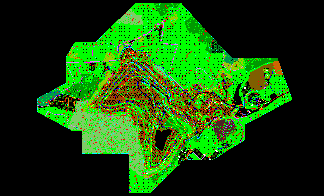
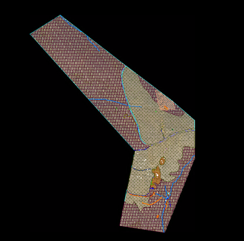
At Atva Geo Informatics, we’re passionate about Geospatial and Engineering services and dedicated to delivering exceptional results for our clients. Our team of experts has years of experience in 2D/3D (Terrestrial Laser Scanning, Airborne Laser Scanning, Mobile Laser Scanning, Digital Photogrammetry, Ortho Image Generation, UAV Data process) and we’re committed to staying at the forefront of technological advancements.
Our Mission
“Our mission is to build strong partnerships with our clients, working together to achieve shared goals and create mutually beneficial solutions.”
Our Values
We’re guided by a set of core values that shape our approach to business:
Innovation: We’re always looking for new and better ways to solve problems and deliver results.
Collaboration: We believe that teamwork and collaboration are key to achieving exceptional outcomes.
Integrity: We operate with transparency, honesty, and integrity in all our interactions.
Customer Focus: We’re dedicated to delivering exceptional service and support to our clients.
Our Services
We have extensive experience in Geospatial and Reverse Engineering, including:
Terrestrial Laser Scanning (Creating 2D/ 3D Models)