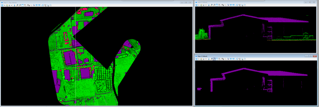
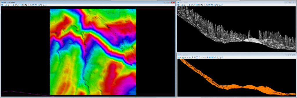
Airborne Laser Scanning (ALS) is a remote sensing technology that uses laser light to measure the distance between an aircraft and the ground. This creates a high-resolution 3D point cloud of the terrain, which can be used to generate detailed topographic maps and 3D models.