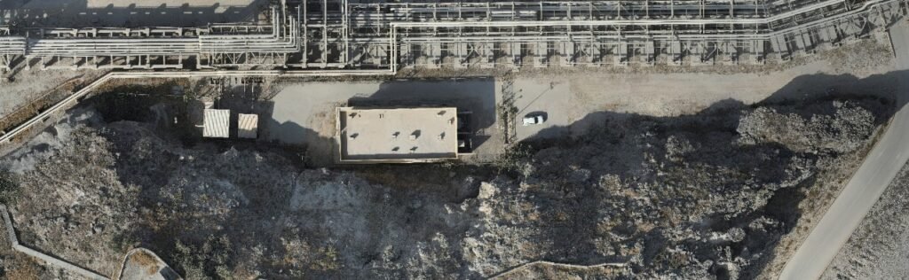
Ortho Image Generation is the process of creating a geometrically corrected image, also known as an orthophoto or orthoimage, from aerial or satellite imagery. The resulting image is a scaled, accurate representation of the Earth’s surface, with distortions removed.
Here’s a simplified overview of the ortho image generation process:
Image Acquisition: Aerial or satellite images are acquired, often with overlapping coverage.
Image Processing: Images are processed to correct for radiometric and geometric distortions.
Georeferencing: Images are georeferenced, meaning they’re tied to a specific location on the Earth’s surface.
Mosaicking: Overlapping images are stitched together to create a seamless mosaic.
Orthorectification: The mosaic is then orthorectified, which involves removing distortions caused by terrain, sensor orientation, and atmospheric conditions.
Resampling: The final orthoimage is resampled to a specified resolution and projection.
Ortho image generation offers several benefits, including:
Improved Accuracy: Ortho images provide accurate, scaled representations of the Earth’s surface.
Increased Efficiency: Ortho images can be used to automate tasks, such as feature extraction and change detection.
Enhanced Decision-Making: Ortho images provide critical information for decision-making in various fields, such as urban planning, environmental monitoring, and disaster response.
Cost Savings: Ortho images can reduce the need for field surveys, saving time and resources.