Here are some outcomes of Terrestrial Laser Scanning (TLS):
1. High-Density Point Clouds
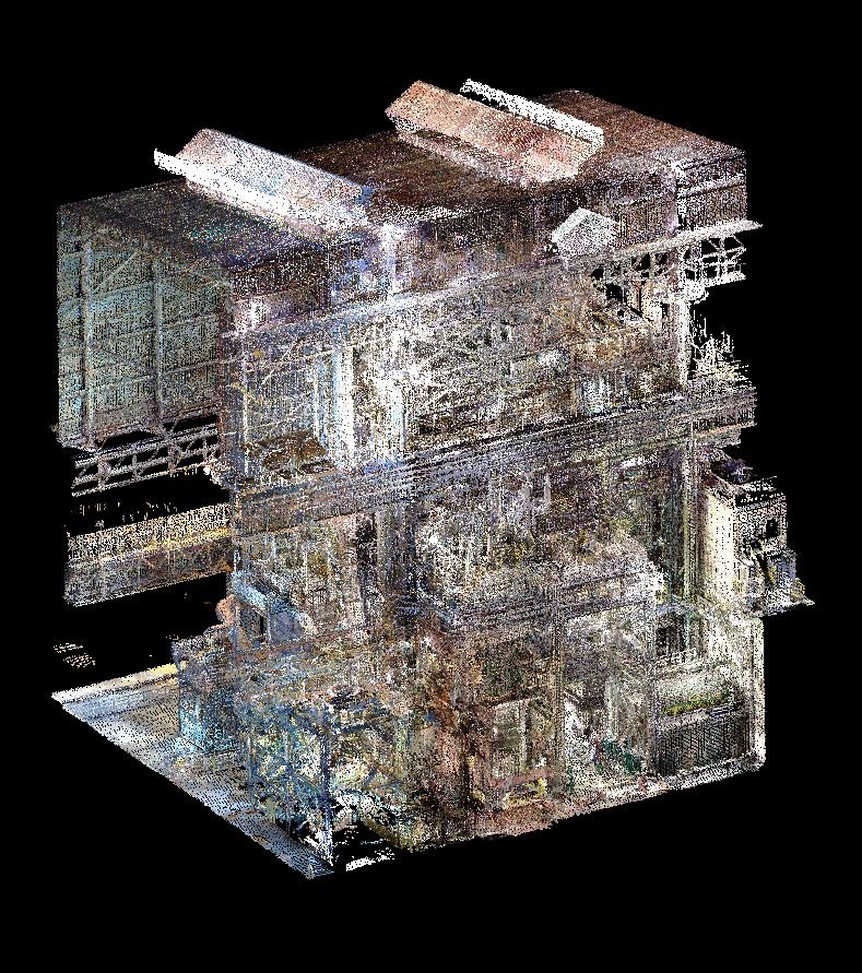
TLS generates high-density point clouds with millions of data points, providing detailed information about the scanned object or scene
2. Accurate 3D Models
TLS enables the creation of accurate 3D models of buildings, structures, and landscapes, which can be used for various applications such as architecture, engineering, and construction.
3. Detailed Topographic Maps
TLS can create detailed topographic maps of landscapes and terrain, including features such as roads, buildings, and vegetation.
4. Deformation Monitoring
TLS can monitor deformation and movement of structures over time, enabling the detection of potential issues and hazards.
5. Heritage Preservation
TLS can create detailed 3D models of historical buildings and monuments, enabling their preservation and restoration.
6. Forensic Analysis
TLS can create detailed 3D models of crime scenes and accident sites, enabling forensic analysis and investigation.
7. Construction Monitoring
TLS can monitor construction progress, enabling the detection of potential issues and hazards.
8. Geotechnical Analysis
TLS can create detailed 3D models of geological formations, enabling geotechnical analysis and rockfall hazard assessment
9. Environmental Monitoring
TLS can monitor environmental changes, such as deforestation, land degradation, and climate change.
10. Improved Safety
TLS can reduce the risk of injury or death by minimizing the need for physical access to hazardous or hard-to-reach areas.
These outcomes can be achieved in various industries, including:
– Architecture
– Engineering
– Construction
– Surveying
– Heritage preservation
– Forensic science
– Environmental monitoring
– Geotechnical engineering